Bath River Line: Fieldwork Facility brings a city's watery past back to the surface
The London design studio was inspired by flood marks in its identity for a new 10km riverside trail through the centre of Bath. We find out more.
Bath has an incredible past. Romans, Georgian crescents, Jane Austen gift shops. It's a city that does heritage really well. The River Avon winds through the middle of it all, yet for years, Bath's industrial history and its complicated, sometimes catastrophic relationship with water have barely had a look-in. That's starting to change.
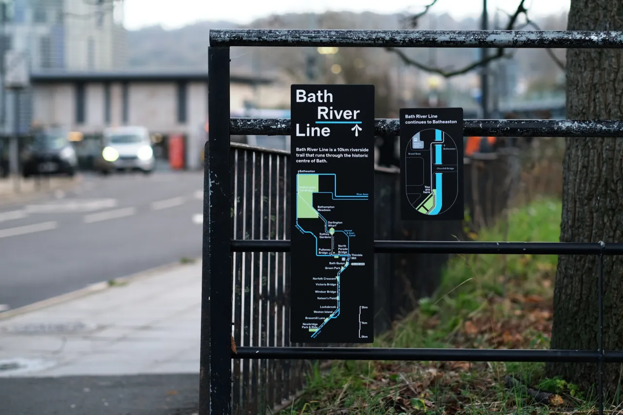
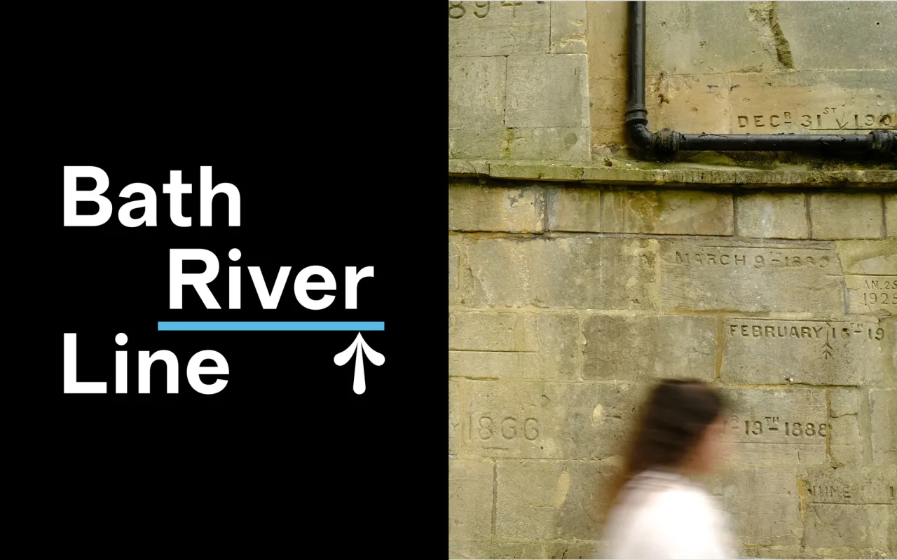
Fieldwork Facility, the London-based design studio that describes itself as being built for "uncharted territories", has created the brand, wayfinding and interpretation system for Bath River Line, a new 10km riverside trail cutting through the heart of the city. And the starting point for the whole visual identity? Flood marks.
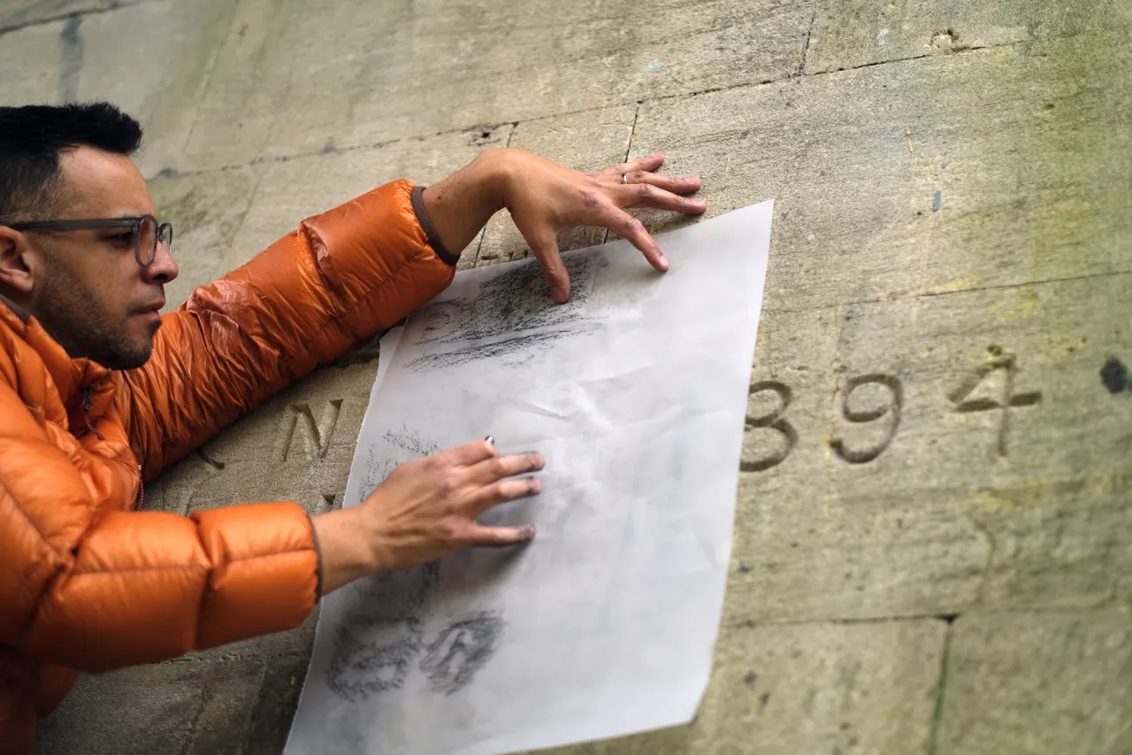
Since the 1800s, historic floods have been recorded by carving dates, lines and arrows directly into the stonework of buildings along the riverbank. Easy to walk straight past. Easy to dismiss as damage. But once you clock them, you can't unsee them. Robin Howie, creative director at Fieldwork Facility, took the studio on a field trip to Bath to photograph and sketch the marks beneath Halfpenny Bridge, and those quiet, stubborn little incisions ended up informing the project's entire visual language.
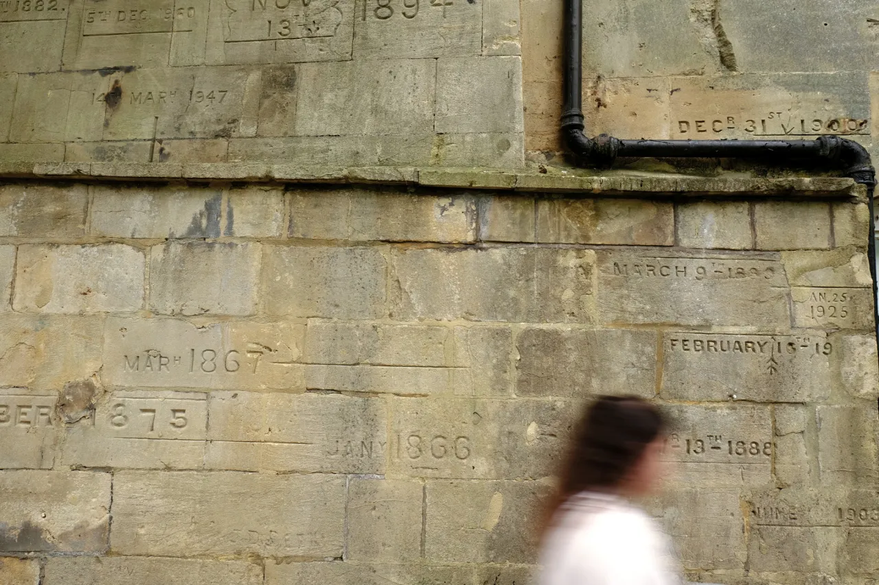
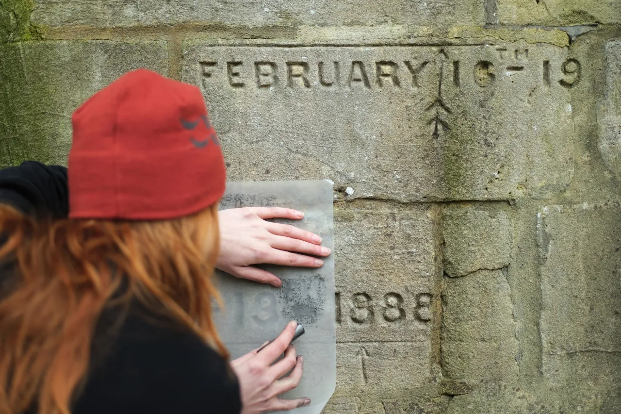
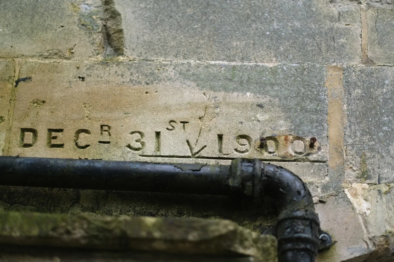
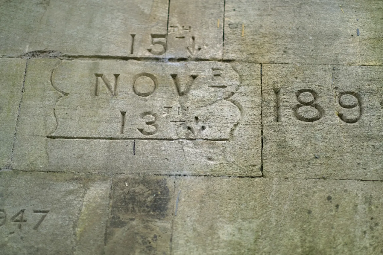
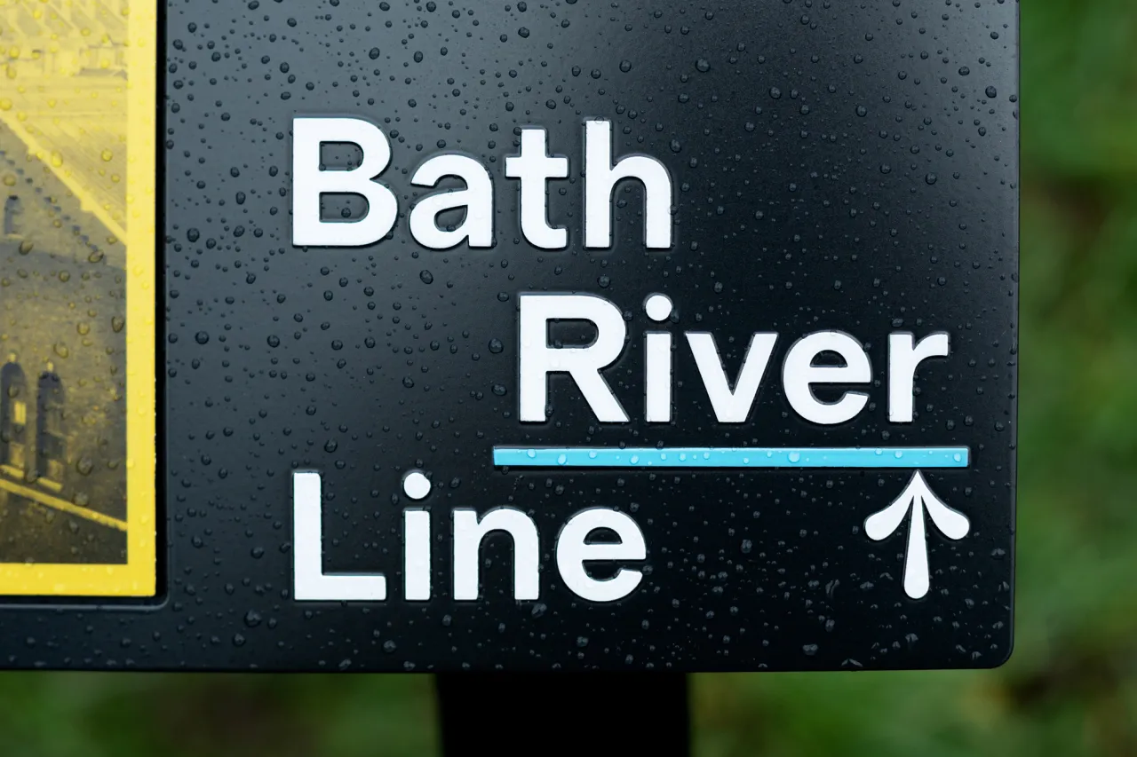
A city already groaning under the weight of its own history – and the detail that unlocks a fresh identity for it is something most tourists would step over without a second glance.
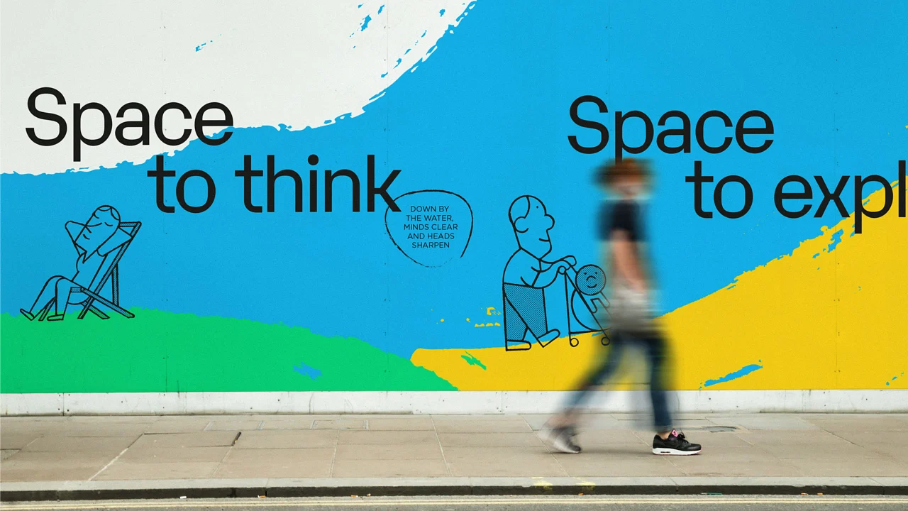
The resulting brand is clean and considered, with the seasonal rhythms of the river running through it, alongside those flood-level references. Interpretation across the route covers three themes: Riparian Nature, Hidden History, and Water! Water!, twenty-one stories in total developed with Bath & North East Somerset Council and a stack of local organisations, from the Environment Agency to Bath Industrial Heritage Trust. Nature illustrations are by local artist Marian Hill, and historic imagery comes from institutions including Bath In Time and the Royal United Hospital. Signage and wayfinding were engineered and installed by Rivermeade.
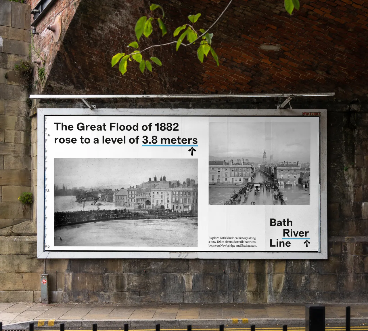
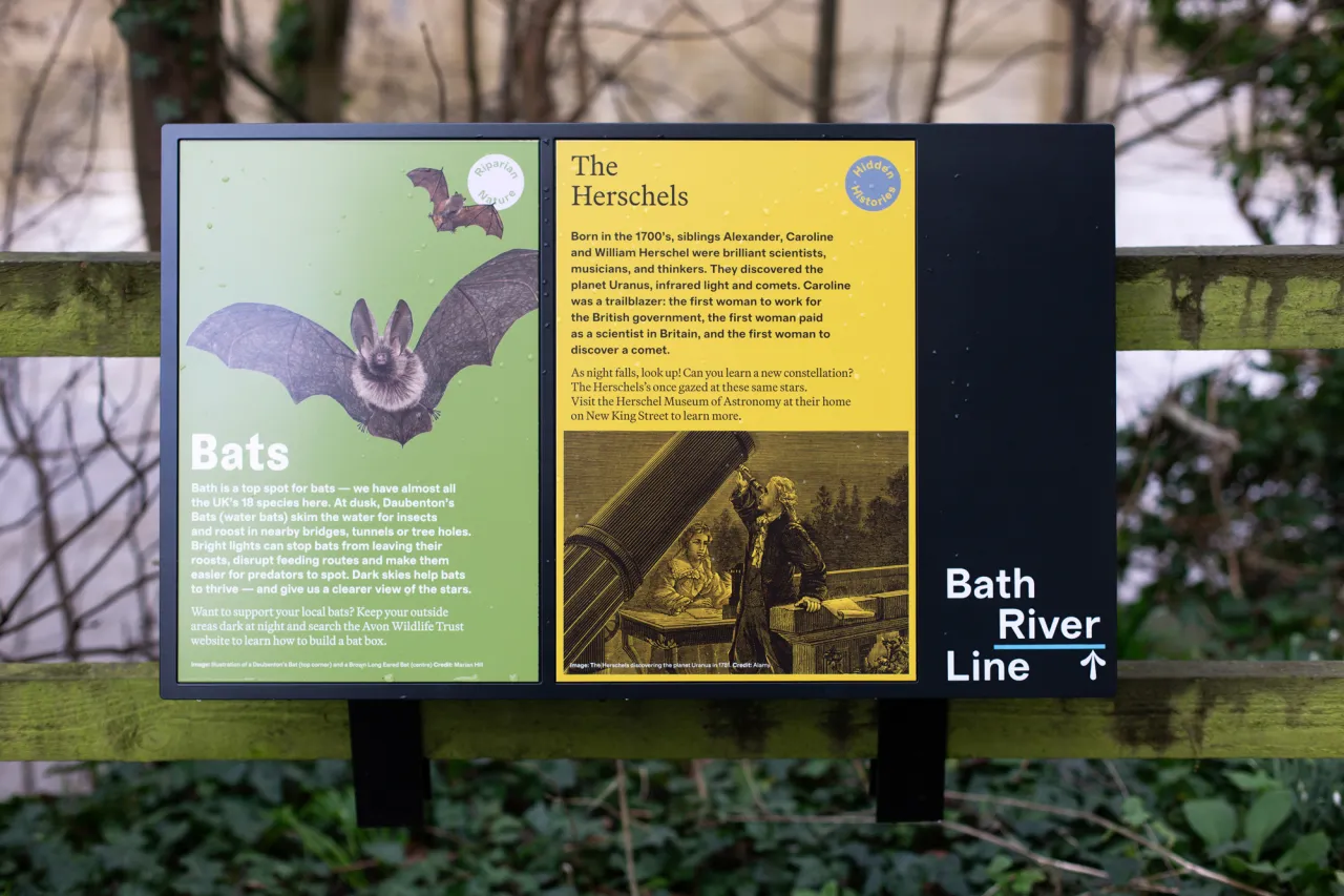
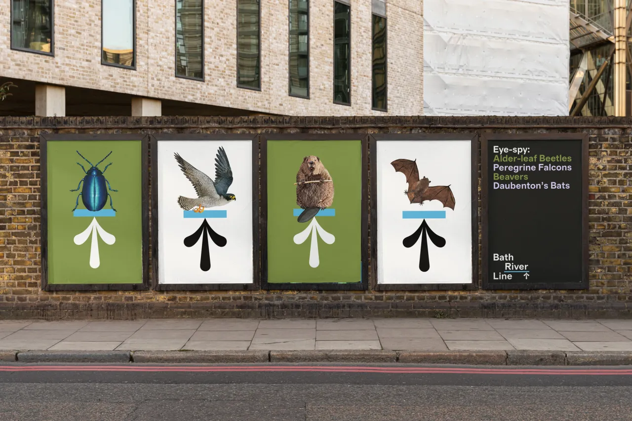
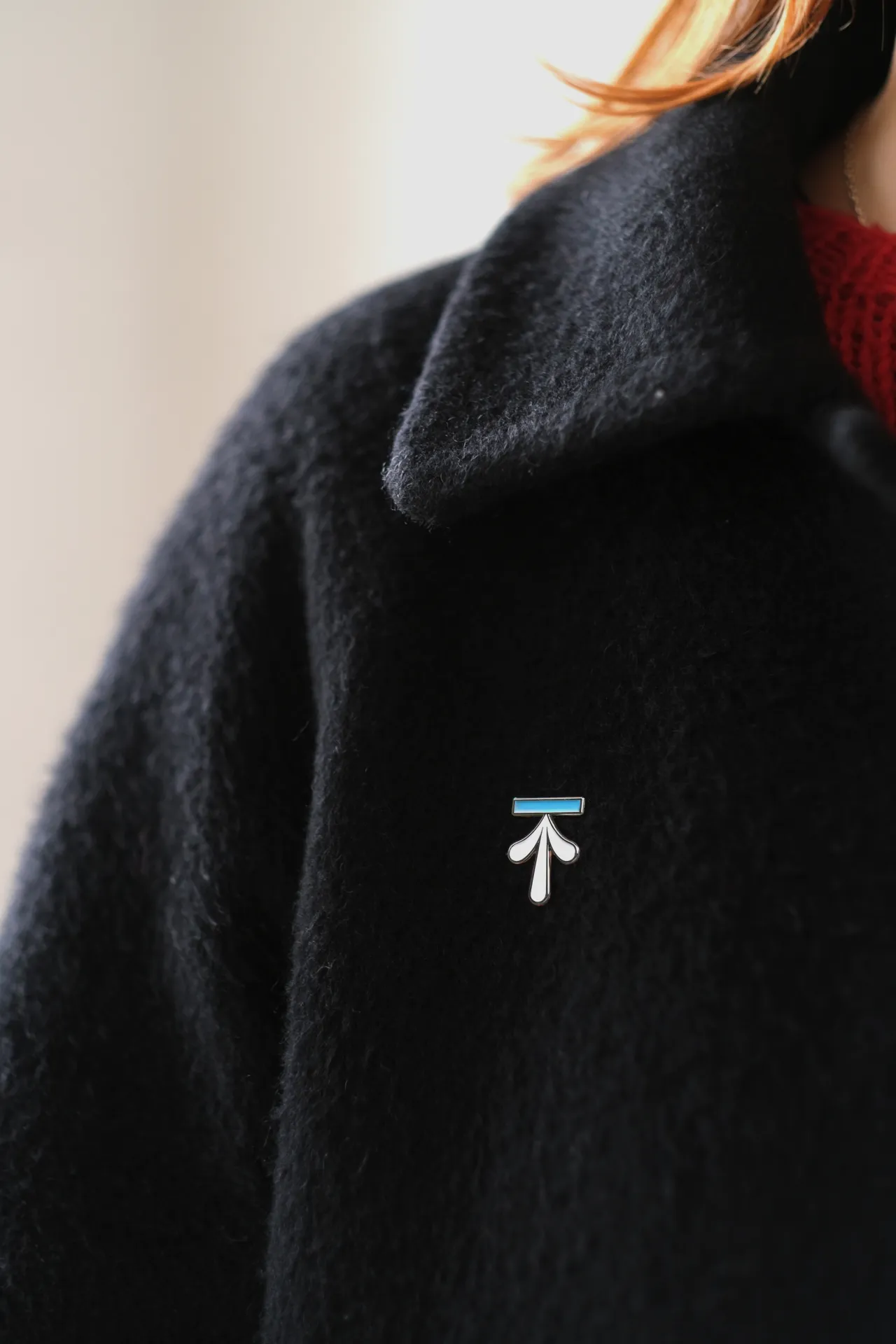
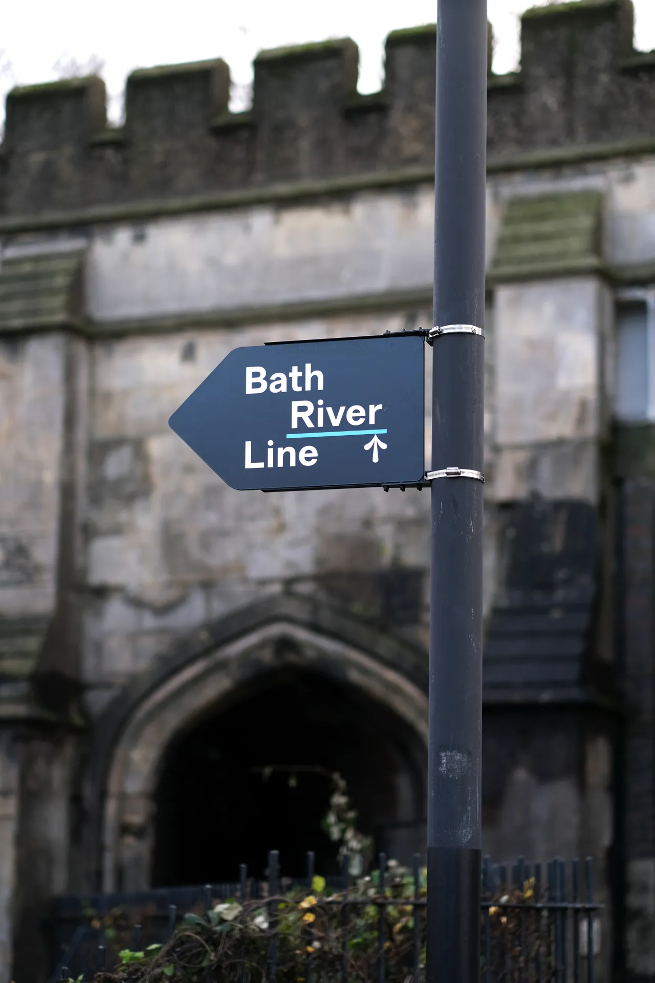
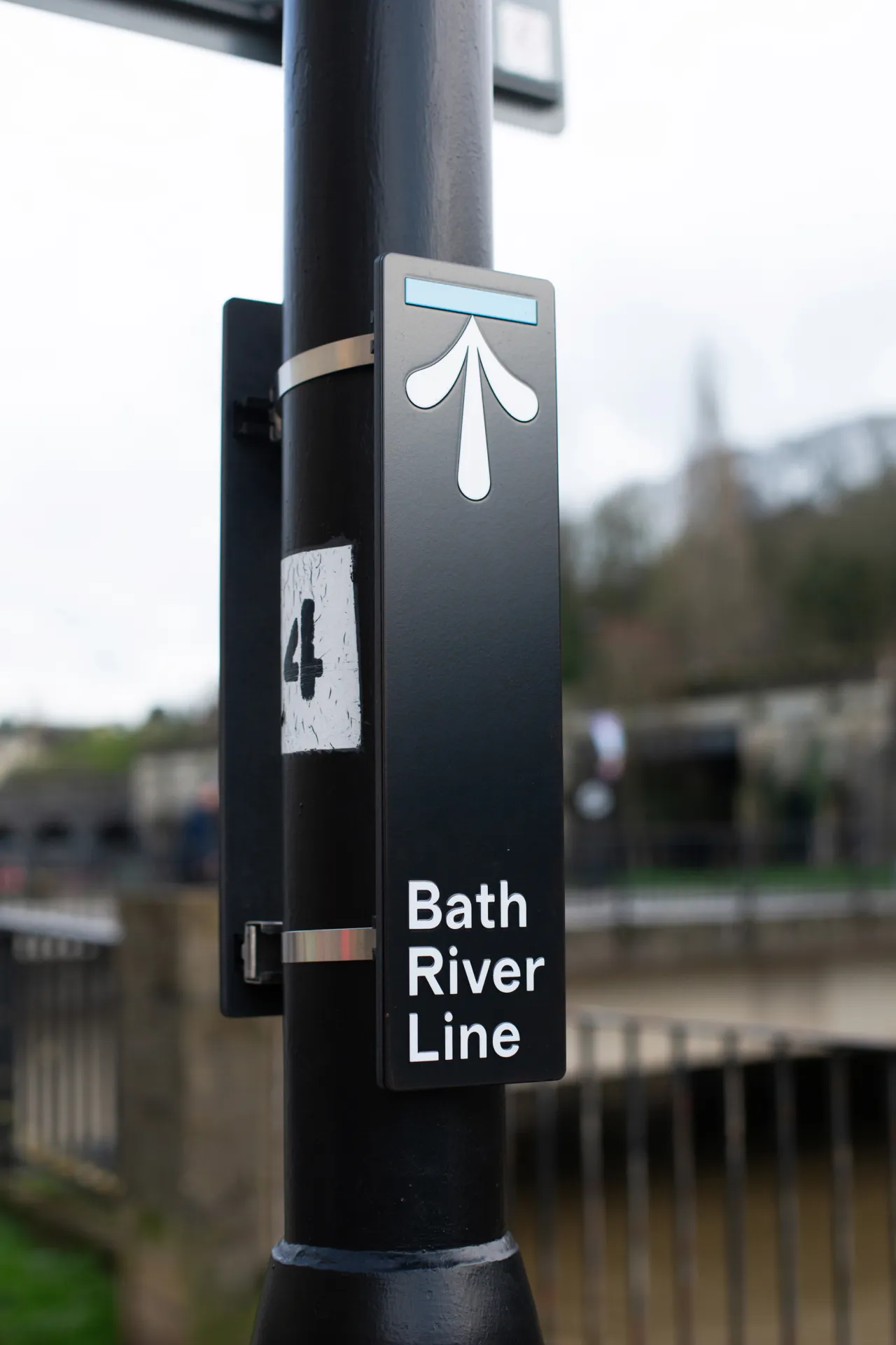
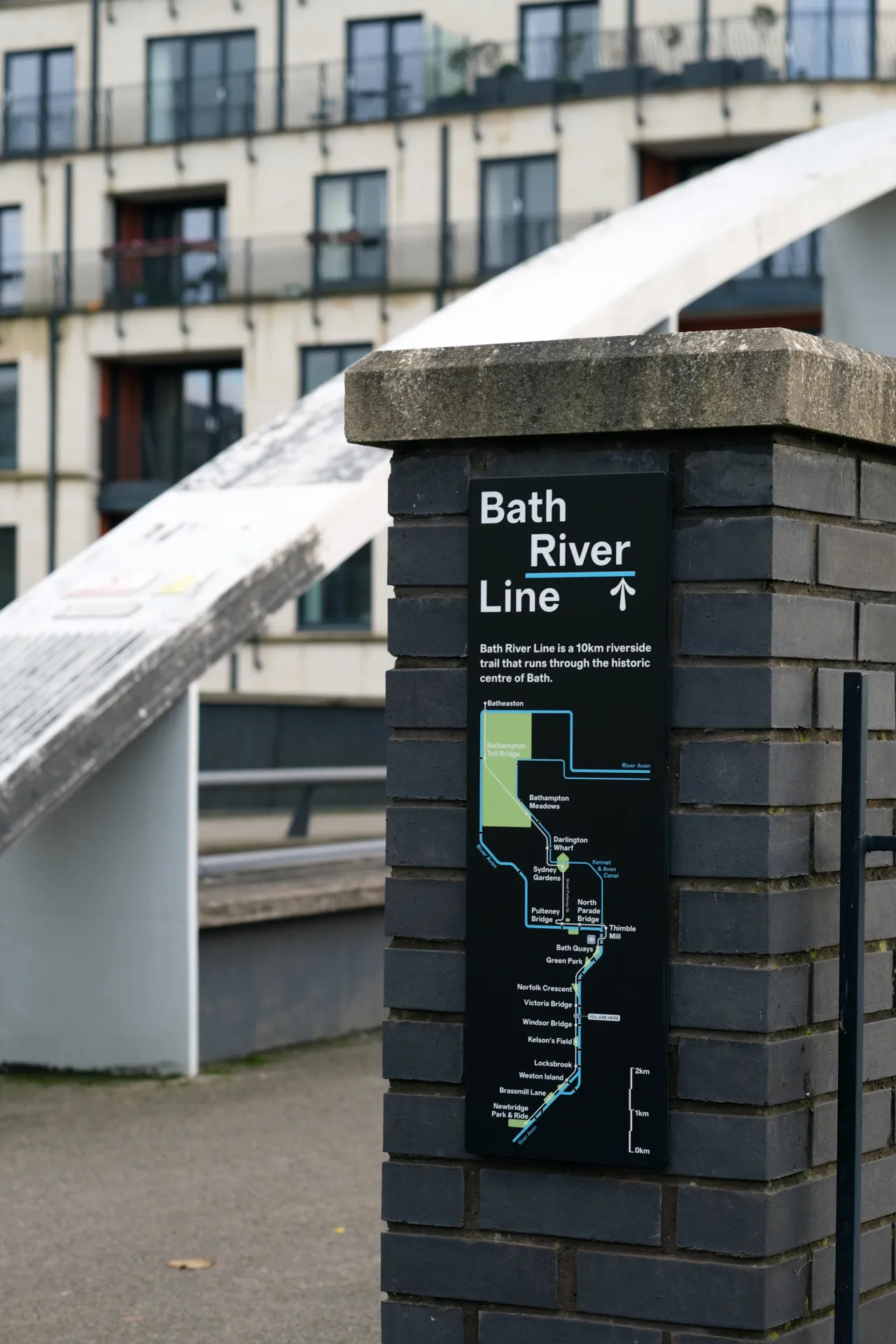
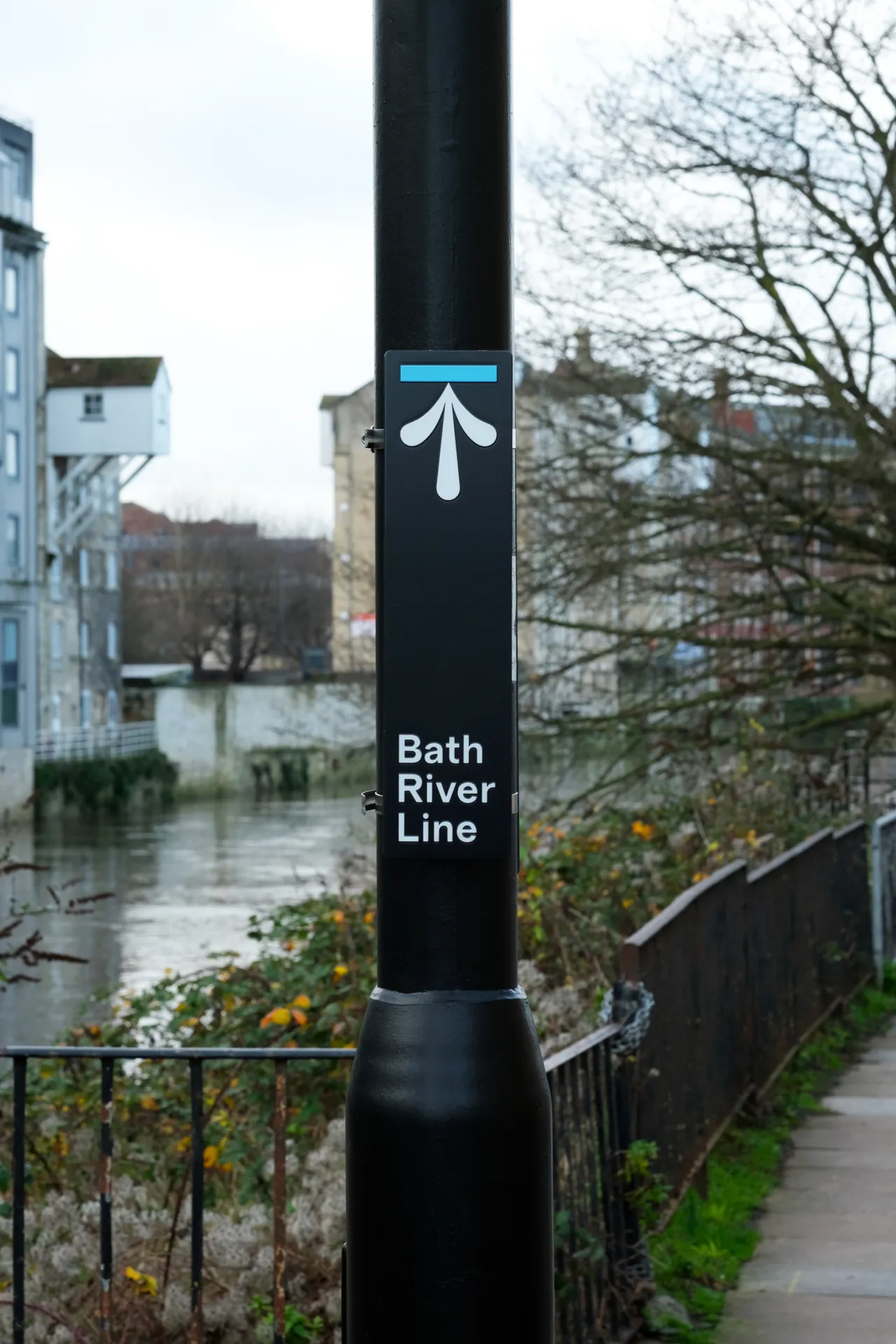
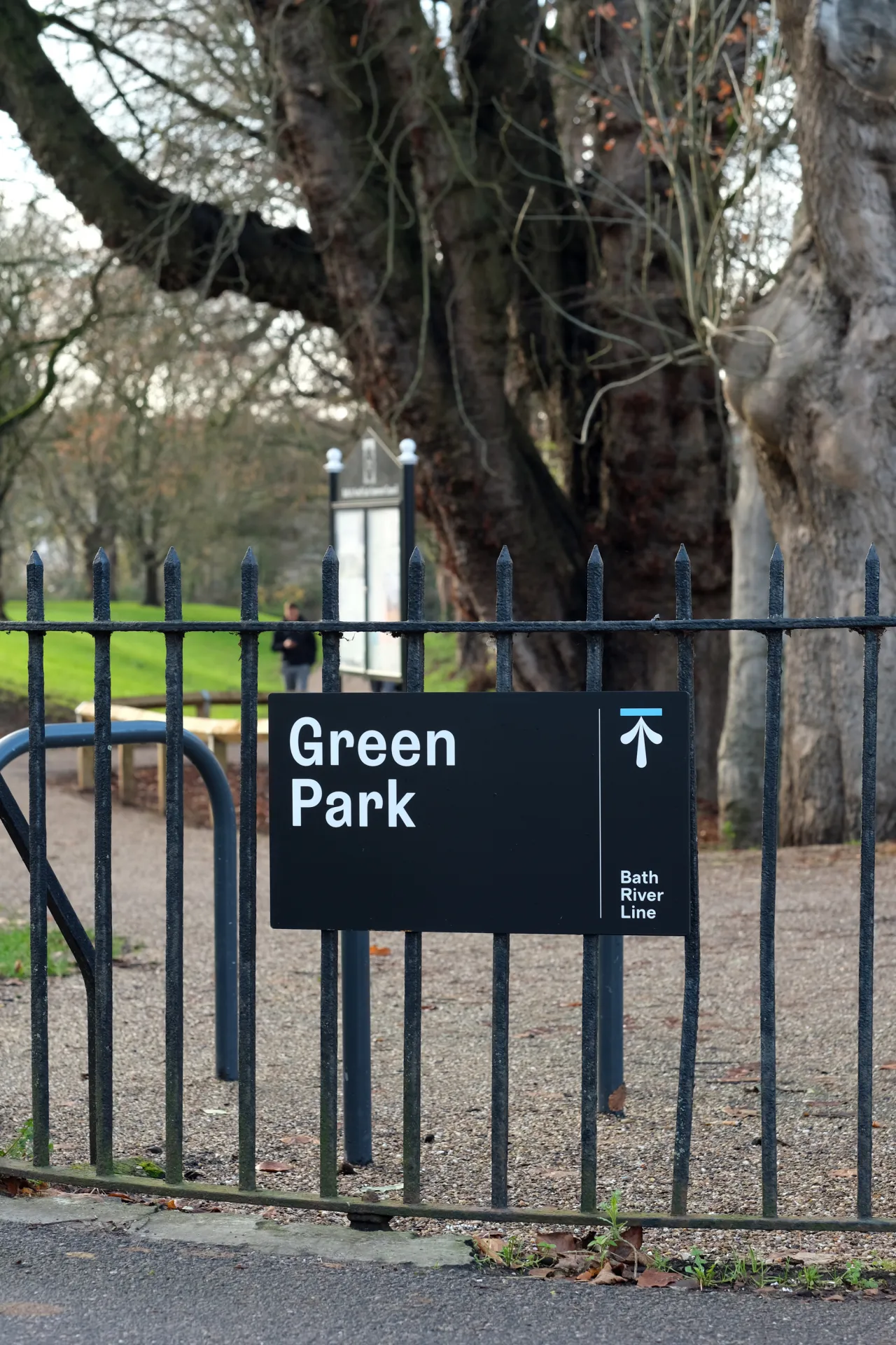
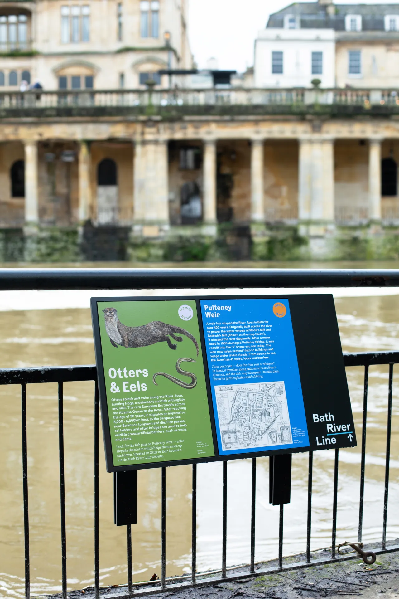
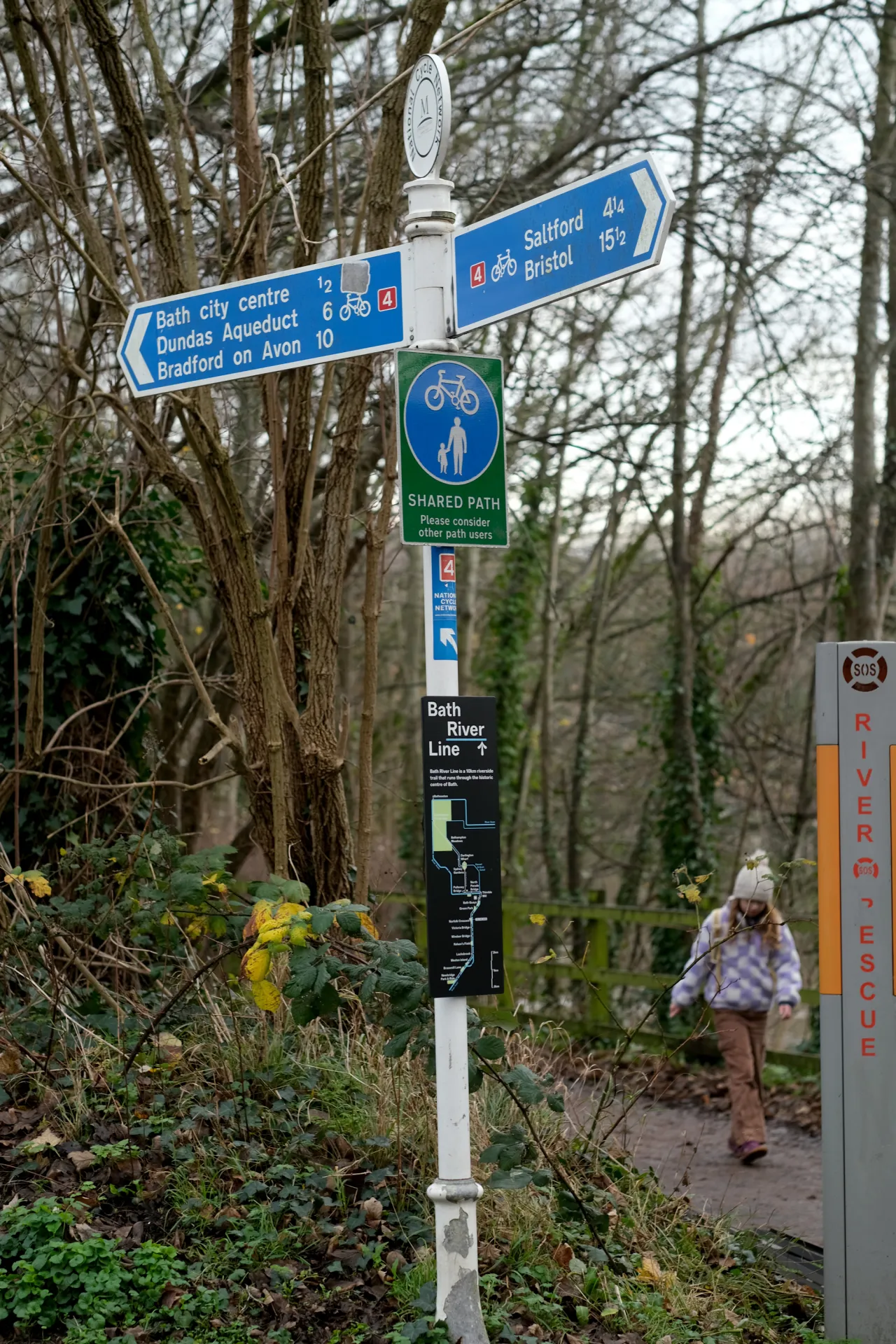
This is the first phase of a much bigger picture. The works so far have focused on the stretch between Norfolk Crescent and Bath Quays, with a further £600,000 in grant funding from the West of England Mayoral Combined Authority already in the pipeline for the next phase. It's hoped that the development will give Bath's riverside the attention it deserves, but also boost biodiversity and encourage locals to be more active.
Fieldwork Facility loves this sort of project. Their work sits at the crossroads of communication, place, and environment, with a particular interest in the bits of the world that don't neatly fit into existing categories. Bath River Line is exactly that: not quite a park or a heritage trail, not quite a nature route. Something more interesting than all three.